» Technical Chart «
The grandeur of Loja's past is evident in its structure, in the abundant remains of walls, towers and wells, as well as in its fortress. Its importance does not stem from its mythical foundation by Noah's grandson Tubal, but rather from the fact that Iberians, Phoenicians, Romans and Muslims all made the key to Granada and the gateway to the Vega into a production and cultural centre of the first order. That is, until Boabdil himself handed it over to the Catholic monarchs Ferdinand and Isabel in 1486, marking the beginning of the end for the Nazrid Kingdom. It still remains for us to ascend to the fort, to enjoy the views it affords us of the city and to try and work out where the Martilla, Agicampe, Campo Albor and Río Frío watchtowers are situated.
Despite being at the edge of Granada, (the city is now visible in all its beauty across the broad Vega), we make a turn towards the north-east to take a detour into the most southerly part of the Los Montes region. We leave the capital of the Comarca del Poniente (western region) by the path leading to the neighbourhood of La Esperanza (Hope). Here we are greeted by an old school nestled between poplars and caressed by the river. It marks the beginning of a route which starts going up and down gentle inclines following the river's course, amidst riverside vegetation and asparagus plantations. These then open into a broad valley where we find the town of Wata Tahara or Huetor Tajar, around which farmsteads bathed by streams and irrigation channels thrive.
Although Abd-Rahman I's route through these lands on his mission to found the Cordovan Caliphate is unknown, we can imagine that we are retracing his steps as we leave Huetor Tajar and head for Arroyo (stream) Milanos, which we ford just before joining the path that will lead us to Villanueva de Mesía. From here, we descend to Vega de las Viñas as we simultaneously make out Cerro de la Moya, where archaeological remains have been found from settlements dating back from the Bronze Age to the Middle Ages.

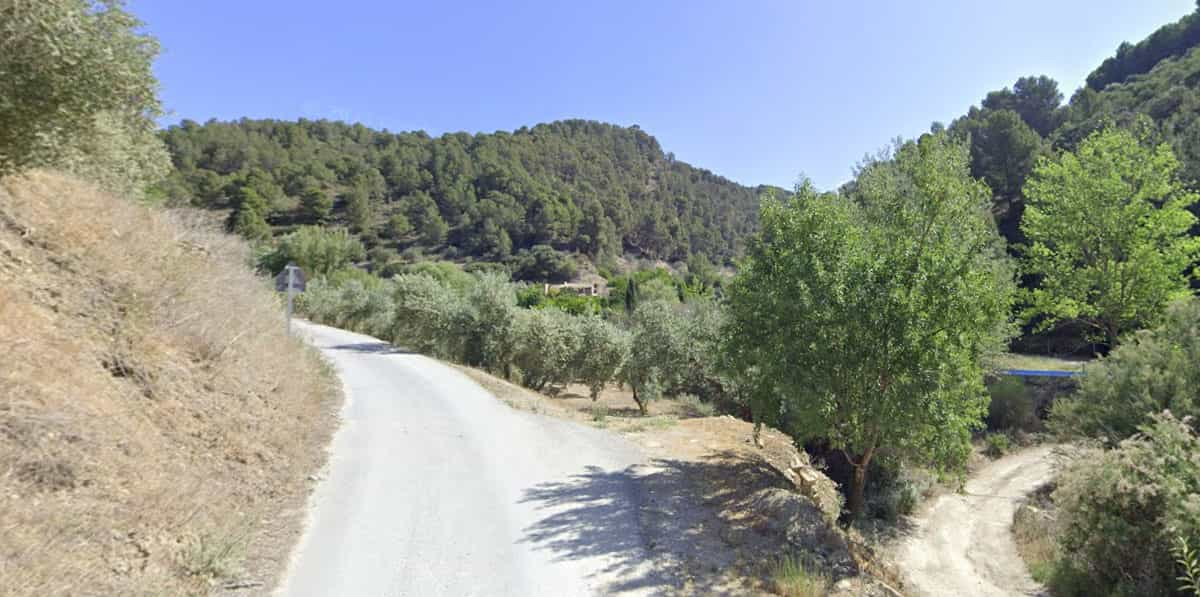
The typical riverside vegetation now gives way to olive groves which will be with us until we arrive at Tocón. From here, the olive trees will try to provide us with relief during the continuous ascent to the western slope of the Sierra of Parapanda. We follow the course of the Arroyo de los Molinos, noticing how the landscape closes in through a narrow valley of high cliffs, these being the prelude to a steep, difficult climb at whose summit we will receive a magnificent reward: Montefrío. This town spreads out beneath the church of la Villa, designed by Diego de Siloe on the site of a former mosque, adorned by the whiteness of its houses which hide in the valley below. The result is a spectacular view which, although fleeting, proves the effort of the climb to have been well worthwhile.